Plot a risk factor
plot_riskfactor.RdPlot geographical risk map of different types optionally with administrative divisions in the background.
plot_riskfactor(x, admin = NULL, pal = grDevices::hcl.colors(50))Arguments
- x
An object of class 'sf', 'SpatRaster' or 'geonetwork'.
- admin
A 'sf' POLYGONS object with administrative units.
- pal
Character vector. Colours. The default is grDevices::hcl.colors(50). #'
Examples
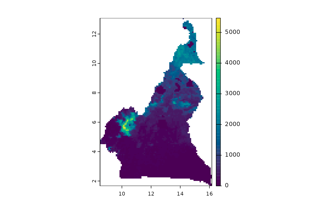
cmr <- mapMCDA_datasets()
plot_riskfactor(cmr$animal.density)
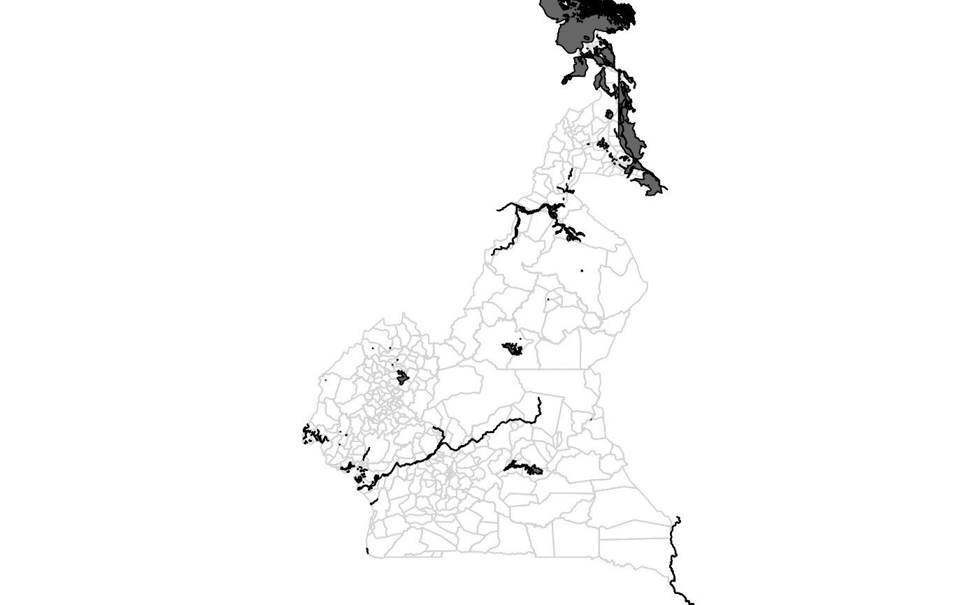
 plot_riskfactor(cmr$mobility, admin = cmr$cmr_admin3)
 plot_riskfactor(cmr$water_bodies, admin = cmr$cmr_admin3)