Compute risk layer
risk_layer.RdCompute a raster map from the input layer and rescale with a linear relationship.
risk_layer(x, boundaries, scale_target = c(0, 100))Arguments
- x
a sf, sfc, SpatRaster or igraph object
- boundaries
a sf or sfc object, used to determine the boundaries of the computed risk layer.
- scale_target
numeric vector of length 2. New scale.
Value
A SpatRaster object in the new scale.
Details
For sf objects (geometries such as point, lines or polygons),
compute the distance_map(), which gives a SpatRaster. For
igraph objects (from network data), compute a SpatRaster
with the relative importance of the nearest node. For a SpatRaster
mask, extend or crop to the boundaries as needed.
Finally, scale the SpatRaster outcome of any of the three input types. If you need an inverse relationship, just reverse the target scale.
Examples
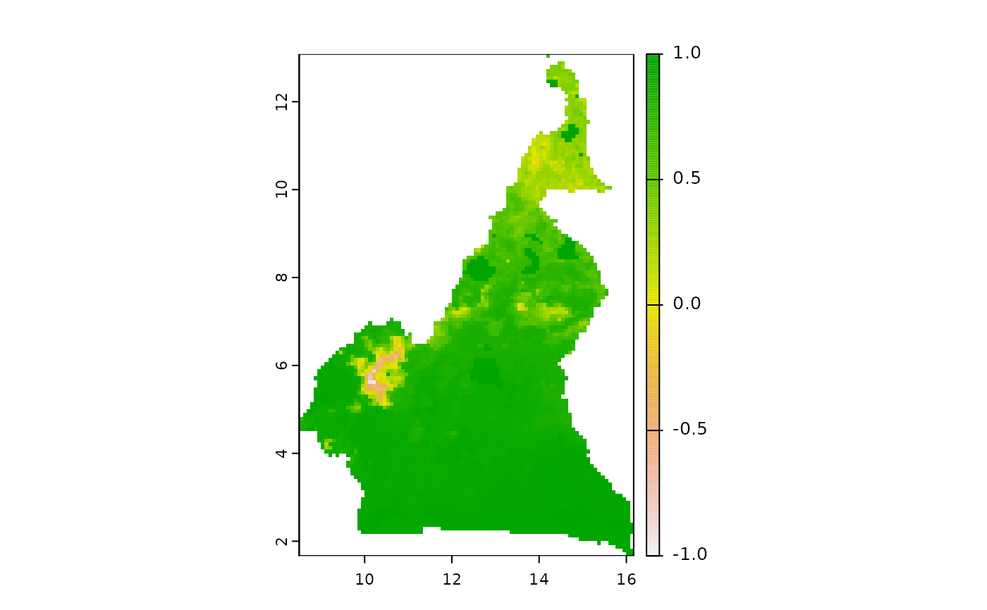
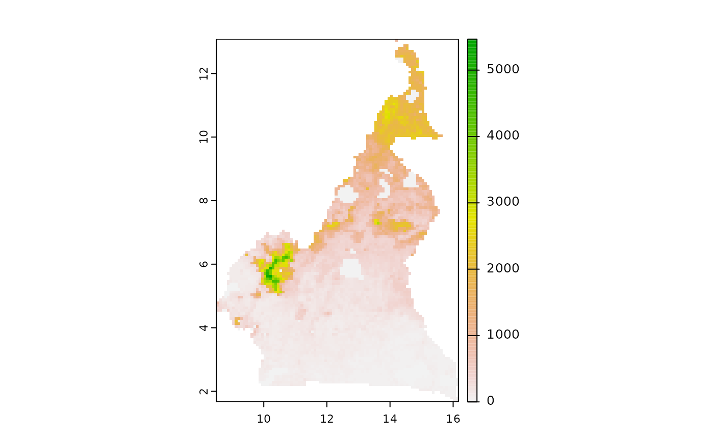
  ad <- mapMCDA_datasets()$animal.density
  bd <- mapMCDA_datasets()$cmr_admin3
  plot(ad)

  plot(risk_layer(ad, bd, scale_target = c(-1, 1)))

  plot(risk_layer(ad, bd, scale_target = c(1, -1)))