Compute a distance map to spatial features
distance_map.RdReturns a distance map (in meters) to spatial features.
distance_map(x, boundaries, res = resolution(boundaries, max_ncells = 100))Arguments
- x
sf or sfc object with relevant spatial features.
- boundaries
sf or sfc POLYGON object with administrative borders, or SpatRaster object from where to pick the resolution.
- res
numeric. Resolution for the outcome distance map. The default divides the smallest dimension into 100 cells.
Value
A raster map with distances in meters to the closest spatial feature.
Details
Distances are computed up to the given boundaries and at given resolution.
Examples
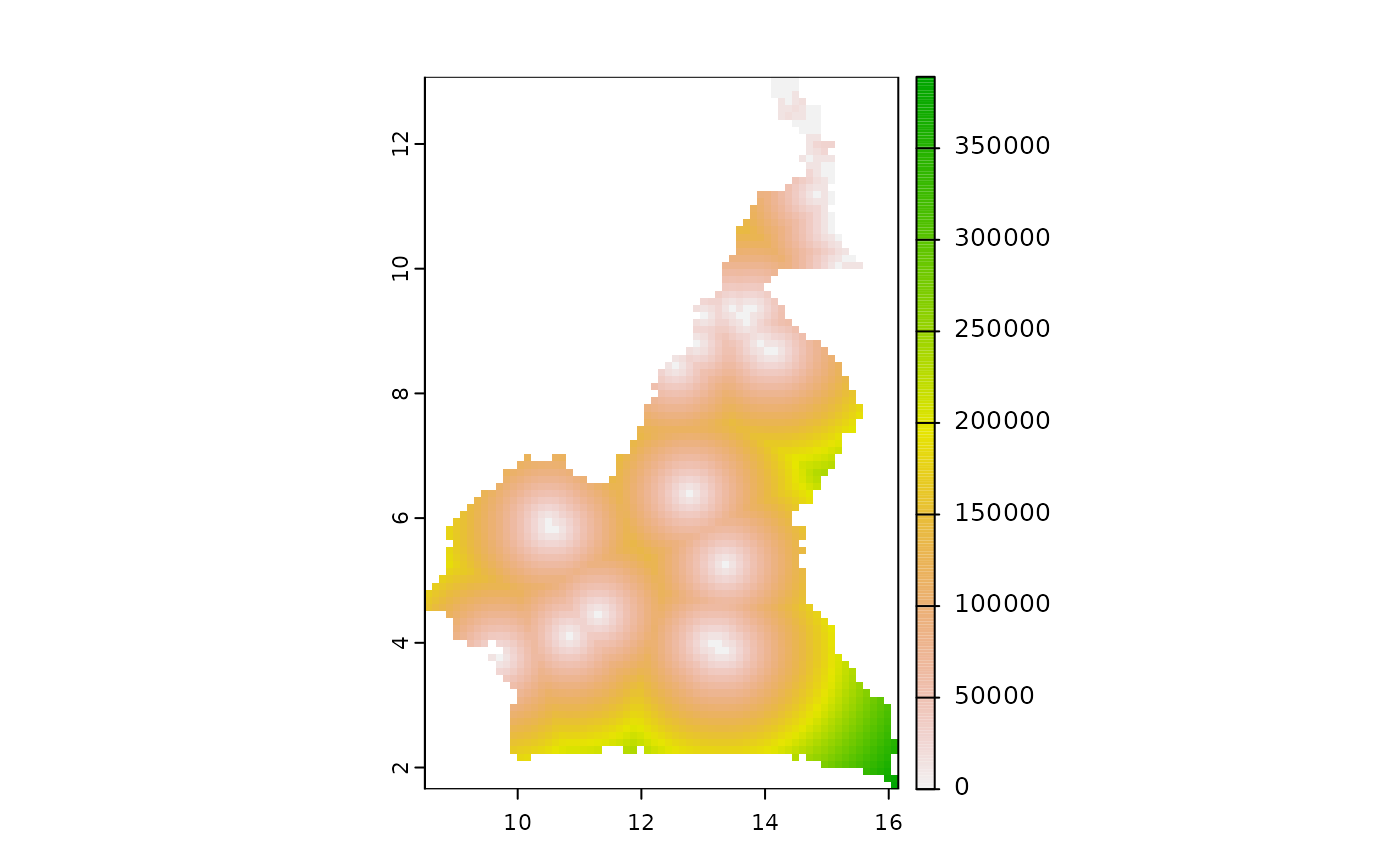
  cmr <- mapMCDA_datasets()
  plot(distance_map(x = cmr$water_bodies, boundaries = cmr$cmr_admin3))
#>
|---------|---------|---------|---------|
=========================================