Plot a geonetwork
plot.geonetwork.RdPlot one or more attributes of a geonetwork on a map
# S3 method for geonetwork
plot(x, y, ...)
Arguments
- x
Object of class
geonetwork.- y
Ignored.
- ...
Further specifications passed to plot_sf.
Examples
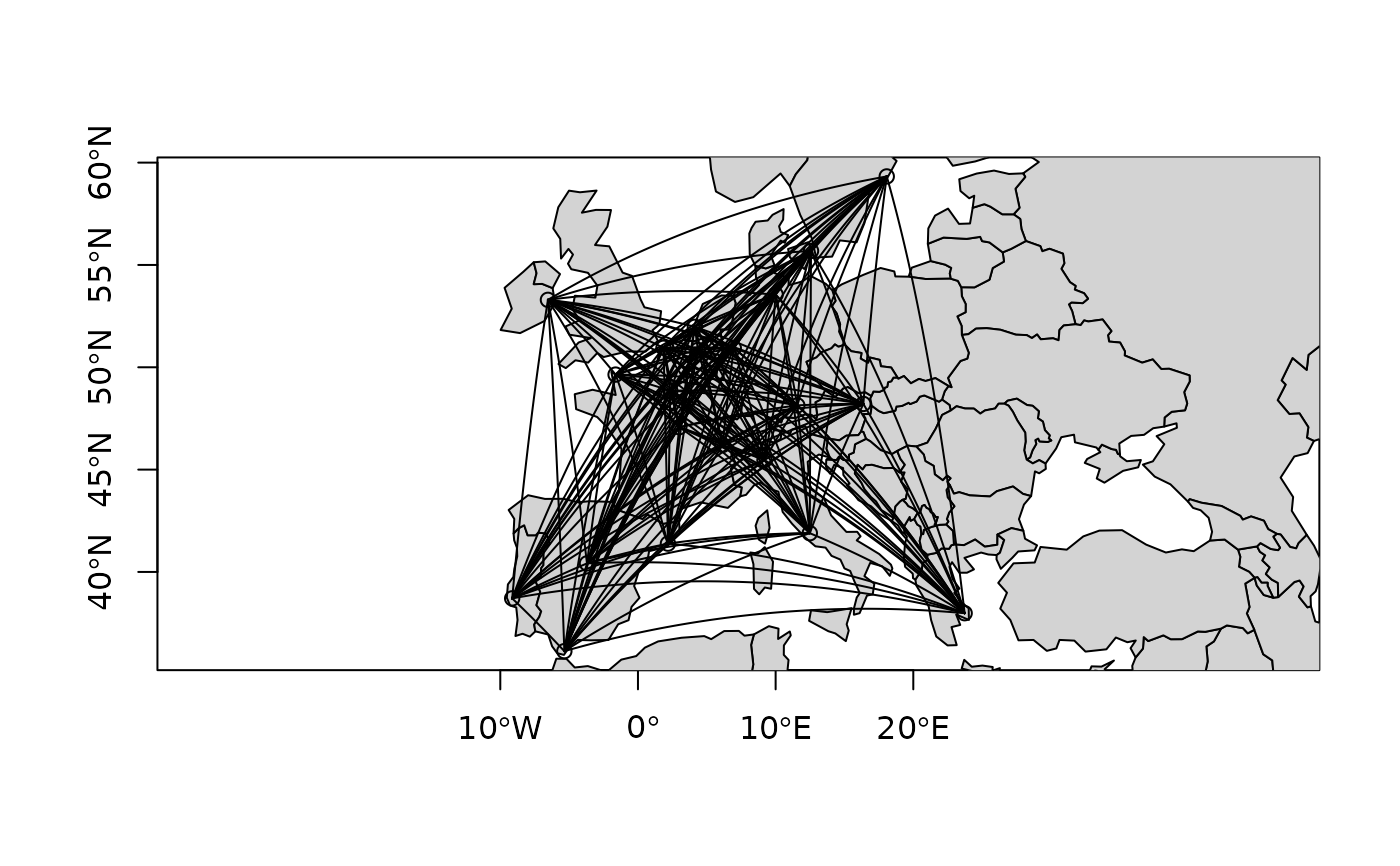
plot(eurodist, axes = TRUE, type = "n")
plot(sf::st_geometry(spData::world), col = "lightgray", add = TRUE)
plot(eurodist, axes = TRUE, add = TRUE)